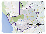
Interactive map of South Africa, its provinces and its major cities
Find your way around our country with
interactive and detailed maps of South Africa and its provinces, incuding detailed streetmaps of
its major cities. Learn more about the geography of South Africa which comprises three main
elements.
These are:
The interior Highveld Plateau,
The region between the coast and the Plateau,
The demarcation between these two,
The last one is called the Great Escarpment, a pronounced steep and mountainous
feature at the periphery of the Highveld.
In the north-east of the country in the Mpumalanga province, at the edge of the
Highveld and its vast open plains, the Escarpment forms a large and steep drop in altitude to what
is known as the Lowveld. It is there where one finds the characteristic African bushveld with its
African wildlife.
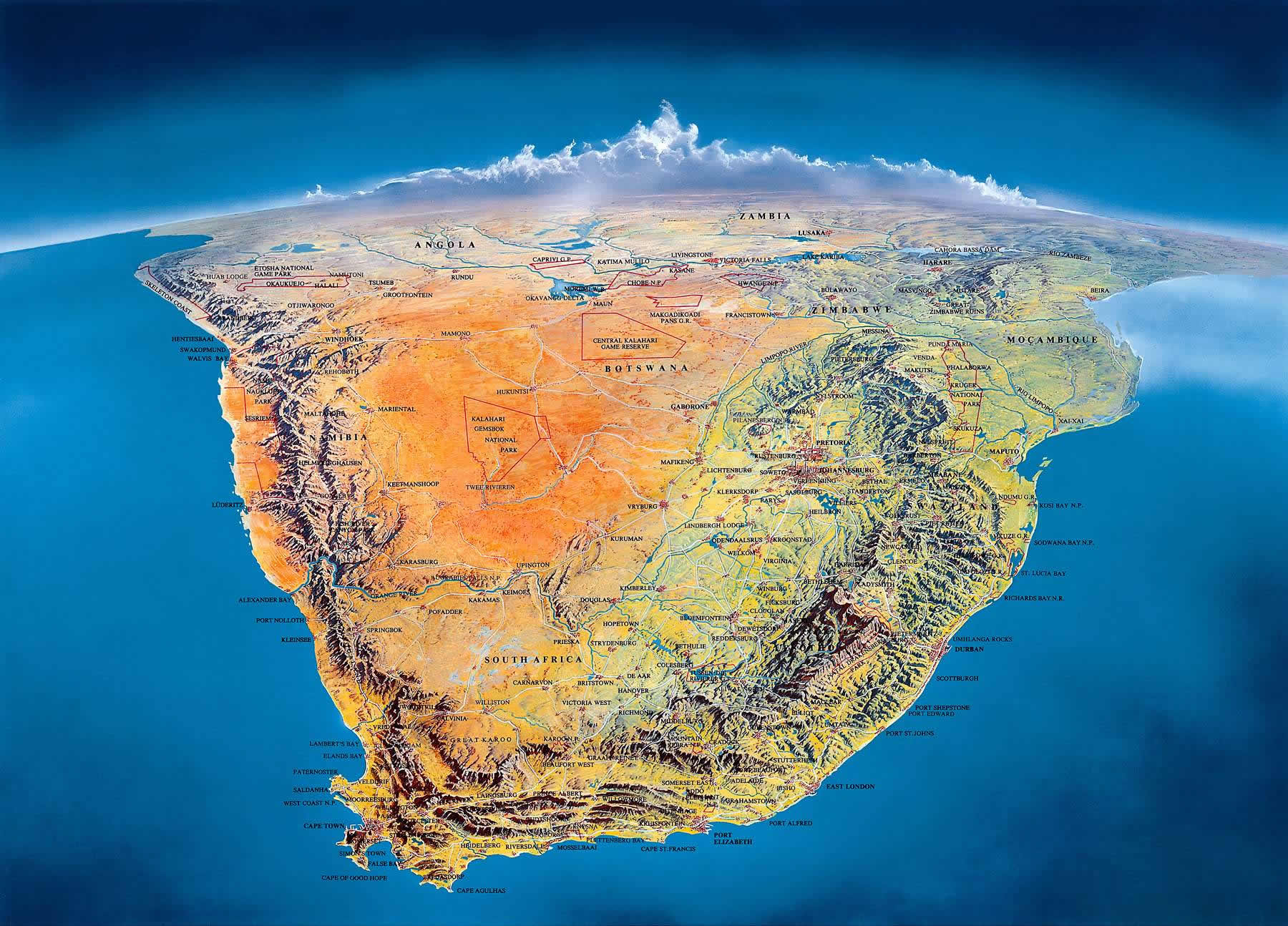
The map of Southern Africa and South Africa below illustrates the topography of
the southern region of the African continent, extending west to east from 33 to 17 degrees longitude
and north to south from 35 to 22 degrees latitude.
It gives you a fantastic view of the major topographic features of South Africa.
Click on the picture below to enlarge and then click on it again to enlarge it even further.
Click on the image below to enlarge it and click to enlarge again
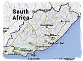
Interactive map showing view from space of the southern tip of Africa
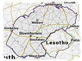
With its neighbors Mozambique, Zimbabwe, Botswana and Namibia at its northern
borders, South Africa completely surrounds the autonomous mountain kingdoms of Swaziland and
Lesotho. The rest of its borderline is formed by the Indian and Atlantic oceans, which come together
at the most southern tip of South Africa and the African continent at Cape Agulhas.
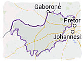
Interactive map of South Africa
Tips for navigating the above map.
The button in the right-hand top corner allows you to select a larger version of the
map.
The button in the left-hand top corner allows you to change from street map to satellite
view and vice versa.
The plus/minus button in the left-hand bottom corner allows you to zoom in and out. You
can zoom in to a detailed street map of any city or area that you select.
Alternatively, put the mouse cursor on any location on the map that you want to explore and
click repeatedly with the left hand mouse button without moving the mouse.
Moving the mouse cursor on the map with the left hand mouse button clicked in, will allow you
to move the map up and down and left and right.
Click on the refresh button of your browser to return to the original map.
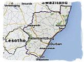
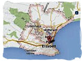
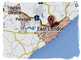
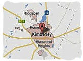
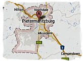
Interactive map of South Africa
Tips for navigating the maps on this page.
The button in the right-hand top corner allows you to select a larger version of the
map.
The button in the left-hand top corner allows you to change from street map to satellite
view and vice versa.
The plus/minus button in the left-hand bottom corner allows you to zoom in and out. You
can zoom in to a detailed street map of any city or area that you select.
Alternatively, put the mouse cursor on any location on the map that you want to explore and
click repeatedly with the left hand mouse button without moving the mouse.
Moving the mouse cursor on the map with the left hand mouse button clicked in, will allow you
to move the map up and down and left and right.
Click on the refresh button of your browser to return to the original map.
How to use Google Maps
Watch this video clip and learn how to use Google Maps, it's so easy. You will be able to find
places and routes anywhere in South Africa, taking you to as close as street level.
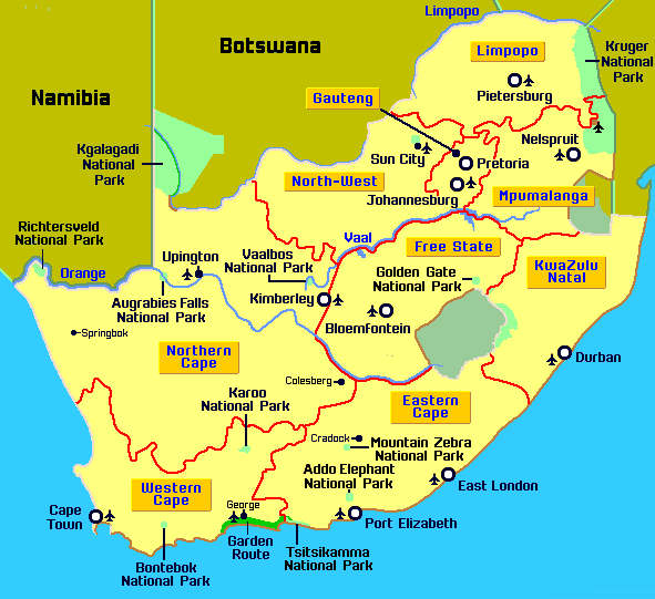
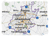
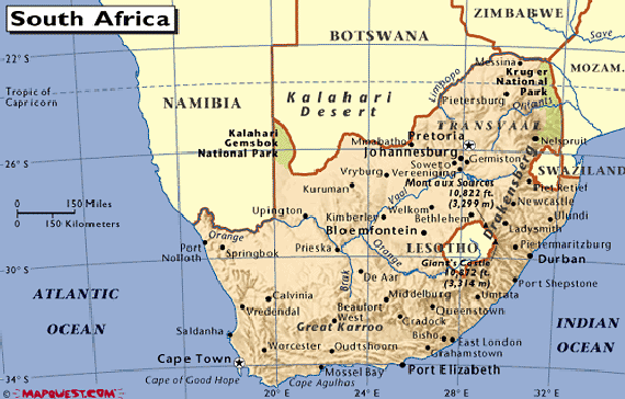
Map of South Africa showing the provinces and major cities.
Only one click to a fully interactive map of the
province of your choice.
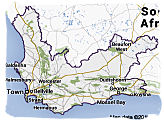
The map below gives an overview of the national highway network of our country, including major
cities and towns. Click on it to enlarge and then click on it again to enlarge it even further.
Click on the map below to enlarge it and click to enlarge again.