Interactive Map of Durban along with
maps of its metropolitan surroundings
On the interactive map of Durban and its surroundings
together with the other maps lower down on this page, the location of this great city is to be
found on the East coast of South Africa in the Kwazulu-Natal province at 29° 53' S and 31°
03' E.
In 2000 it became part of the greater Durban area known as the eThekwini Metropolitan
Municipality, comprising the city of Durban and the surrounding towns and townships.
eThekwini encompasses an area of approximately 2300km2 with a population of approximately
3,100,000 people and includes a relatively narrow coastal plain that stretches along the shoreline
for 98km. The Metropolitan area is topographically hilly and the undulating nature of the landscape
has significantly influenced the city's development.
The area is bordered by the Indian Ocean with its warm, south flowing Agulhas current on the
East and the Drakensberg Mountains, one of the most beautiful and picturesque mountain ranges in
Africa, on the West. To the South, a range of rolling hills called the Bluff separate the sea from
Durban Bay, making it a naturally formed harbour.
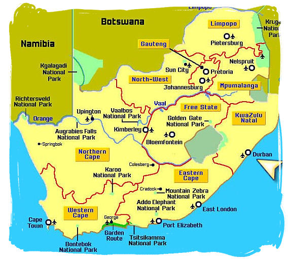
Map of South Africa giving an overall idea of the lay of the land, showing the location of Durban
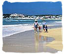
As these hills stretch further North past the Umgeni River to the Northern suburbs of Durban
North and Umlhanga, they become fields of abundant sugar cane which surround the North Coast
beaches.
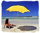
Along the coastal regions beautiful beaches are surrounded by indigenous bush and lush tropical
vegetation. The notable offshore geographical features in this area are Aliwal Shoal in the South
and Sodwana Bay Reef in the North, two incredible world class diving sites.
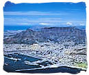
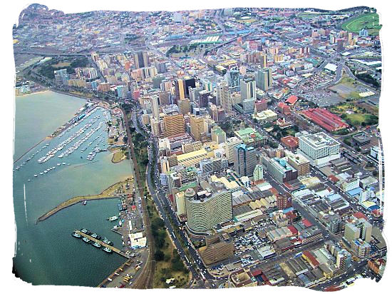
Aerial view of Durban CBD with the yacht harbour showing on the left
Inland lies the Berea area, a ridge of hills, which encircles the flat locations in the vicinity
of the Central Business District and the harbour area. The Western suburbs of Kloof and Hillcrest,
which lie off the famous Fields Hill, are significantly higher than sea level.
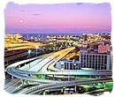
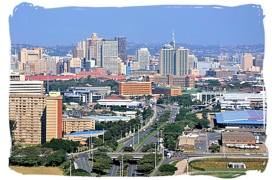
view of the Durban skyline with the hilly suburban areas on the horizon
As you pass through the community of Bothas Hill, which is approximately 850metres (2789 feet)
above sea level, you encounter the dramatic landscape of the Valley of a Thousand Hills, a
magnificent and majestic valley formed by the Mngeni River and its tributaries, which creates the
backdrop for the spectacular Midlands Meander Trail.
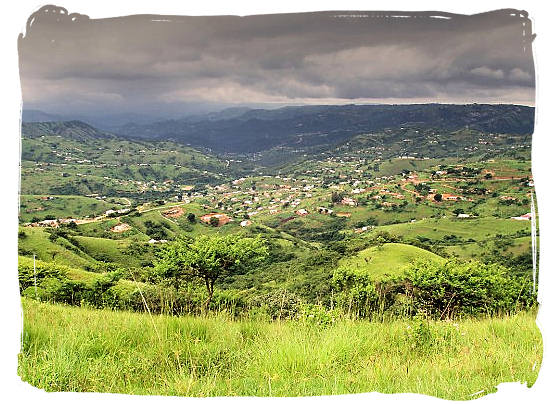
The Valley of a Thousand Hills in the heart of Zululand not far from Durban
The Greater Durban region boasts a multitude of interesting geographical features including
waterfalls, rivers, ravines, gorges, dams, valleys, and nature reserves, making this a breath
taking place to visit.
The following are a number of interactive Google maps which will enable
you to explore your subject of interest from satellite view to as close as street view following
the navigation instructions.
Tips for navigating the maps on this page
- Click anywhere on the map to clear the "Directions" window
- The button in the left-hand top corner allows you to select a larger version of the
map.
- The button in the left-hand bottom corner allows you to change from street map to satellite
view and vice versa.
- The plus/minus button in the right-hand bottom corner allows you to zoom in and out. You
can zoom in to a detailed street map of any city or area that you select.
- Alternatively, put the mouse cursor on any location on the map that you want to explore and
click repeatedly with the left hand mouse button without moving the mouse.
- Moving the mouse cursor on the map with the left hand mouse button clicked in, will allow you
to move the map up and down and left and right.
- Click on the refresh button of your browser to return to the original map.
Tips for navigating the
maps on this page.
- Click anywhere on the map to clear the "view larger map" window
- The button in the left-hand top corner allows you to select a larger version of the
map.
- The button in the left-hand bottom corner allows you to change from street map to satellite
view and vice versa.
- The plus/minus button in the right-hand bottom corner allows you to zoom in and out. You
can zoom in to a detailed street map of any city or area that you select.
- Alternatively, put the mouse cursor on any location on the map that you want to explore and
click repeatedly with the left hand mouse button without moving the mouse.
- Moving the mouse cursor on the map with the left hand mouse button clicked in, will allow you
to move the map up and down and left and right.
- Click on the refresh button of your browser to return to the original map.
Map of Southern Africa showing the location of Durban.
Map of the eThekwini metropolitan area.
View a larger version
to see the exact border of the metropolitan area.
Map of Durban showing its surrounding suburbs.
Map of Durban city area itself
Map of Durban CBD