You are here:
-
Home
›
-
National parks in South Africa
›
-
West Coast National Park
›
-
West Coast National Park maps
West Coast National Park maps,
helping you find your way
around the Park
West Coast National Park maps, that will help you
find your way around the Park, which is indicated on the maps by a red marker.
You can zoom in and out from satellite view to street view, really stunning. Follow the
navigation instructions.
Tips for navigating the map
- Click anywhere on the map to minimize the window in the left-hand top corner.
- Use the plus/minus button in the right-hand bottom corner or the the scroll wheel of your mouse to
zoom in and out.
- Alternatively, put the mouse cursor on any location on the map that you want to explore and
click repeatedly with the left hand mouse button to zoom in or out, without moving the mouse.
- Moving the mouse cursor on the map with the left hand mouse button clicked in, will allow you
to move the map up and down and left and right.
- The button in the left-hand bottom corner will take you to a satellite view of the map
- The button in the left-hand top corner will take you to an enlarged map.
- Click on the refresh button of your browser to return to the original map.
The following map shows the infrastructure of the Park and the three
recreational zones:
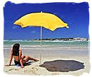
ZONE A: A multi-functional section for most watersports e.g.
Kite Surfing, Water Skiing, Snorkeling, Diving, Kayaking, Swimmming, Fishing, Angling and Boating.
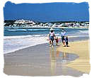
ZONE B: Reserved for Sail Boats and Board sailing
(no powerboats or angling).
ZONE C: Wilderness area
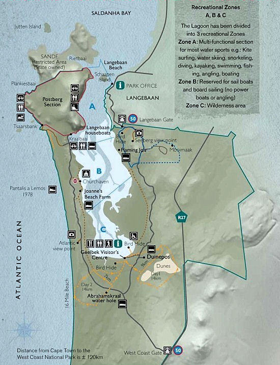
Map of the West Coast National Park showing its infrastructure
West Coast National Park, South Africa National Parks
Photograph by Jim Sher
Top of Page
-
Home
›
-
National parks in South Africa
›
-
West Coast National Park
›
-
West Coast National Park maps